Visual Media Services Built for Commercial & Industrial Clients
CD Visuals provides structured drone, video, photography, and 3D scanning services for construction, manufacturing, and commercial property projects across Ontario. Each service is designed to deliver clear documentation, marketing-ready assets, and predictable turnaround timelines.
Licensed & insured. Serving London & Southwestern Ontario.
Our Services
End-to-end visual production tailored to construction, real estate, and commercial teams.
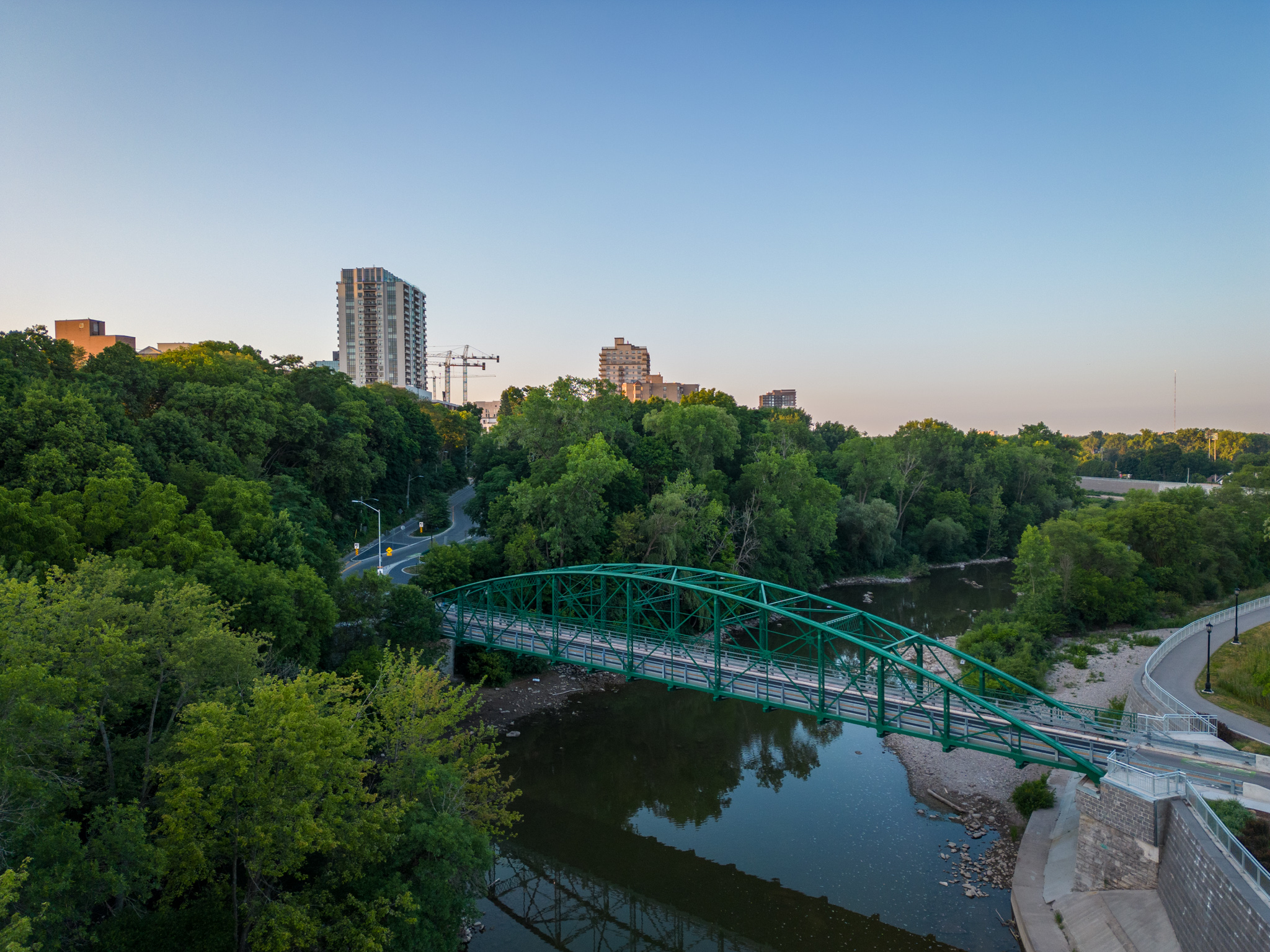
Drone Photo & Video
High-quality aerial imagery used for marketing, progress
tracking, and property documentation.
Promotional Video Production
Scheduled photo and video capture to document site activity and support internal reporting.
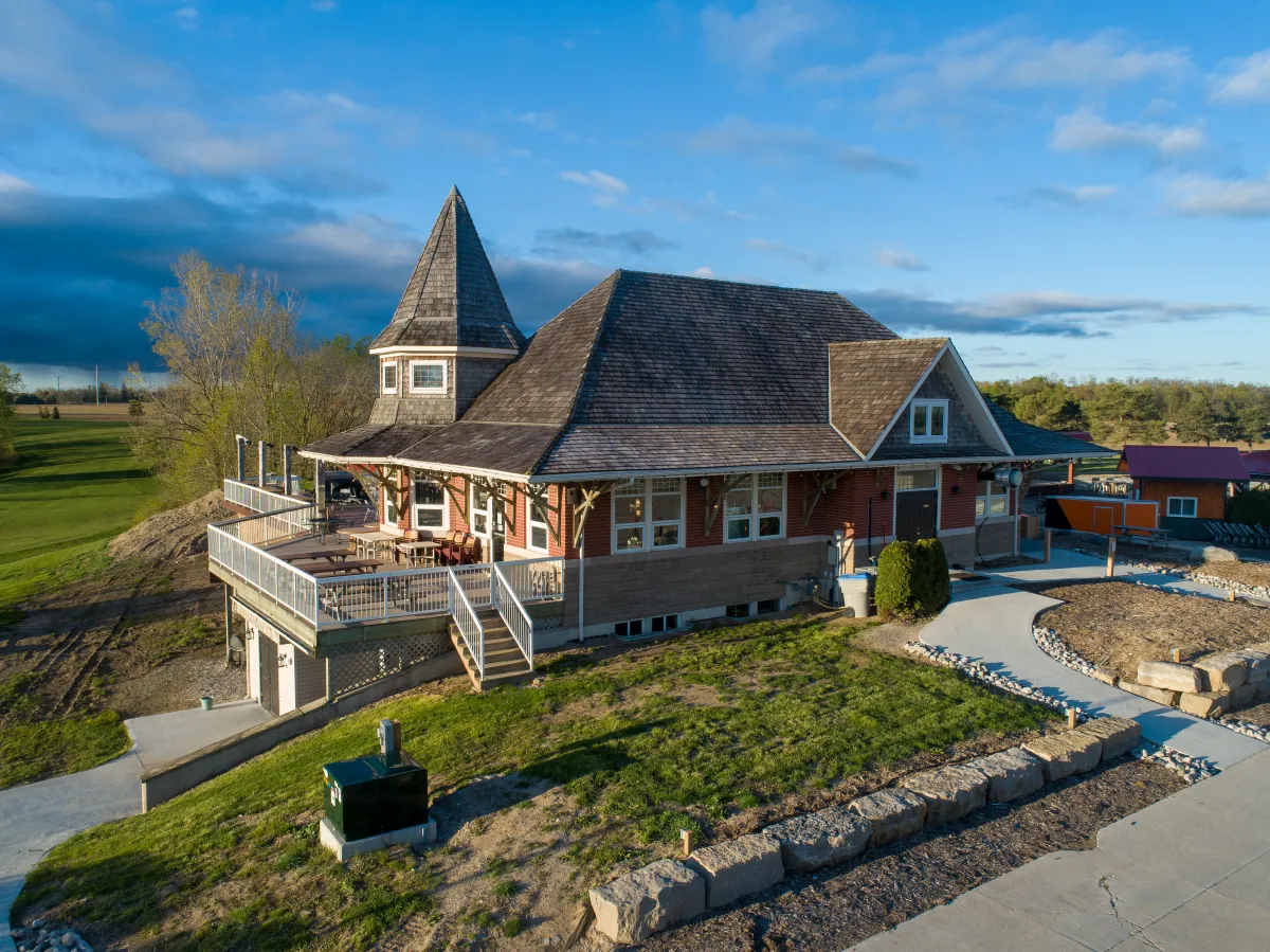
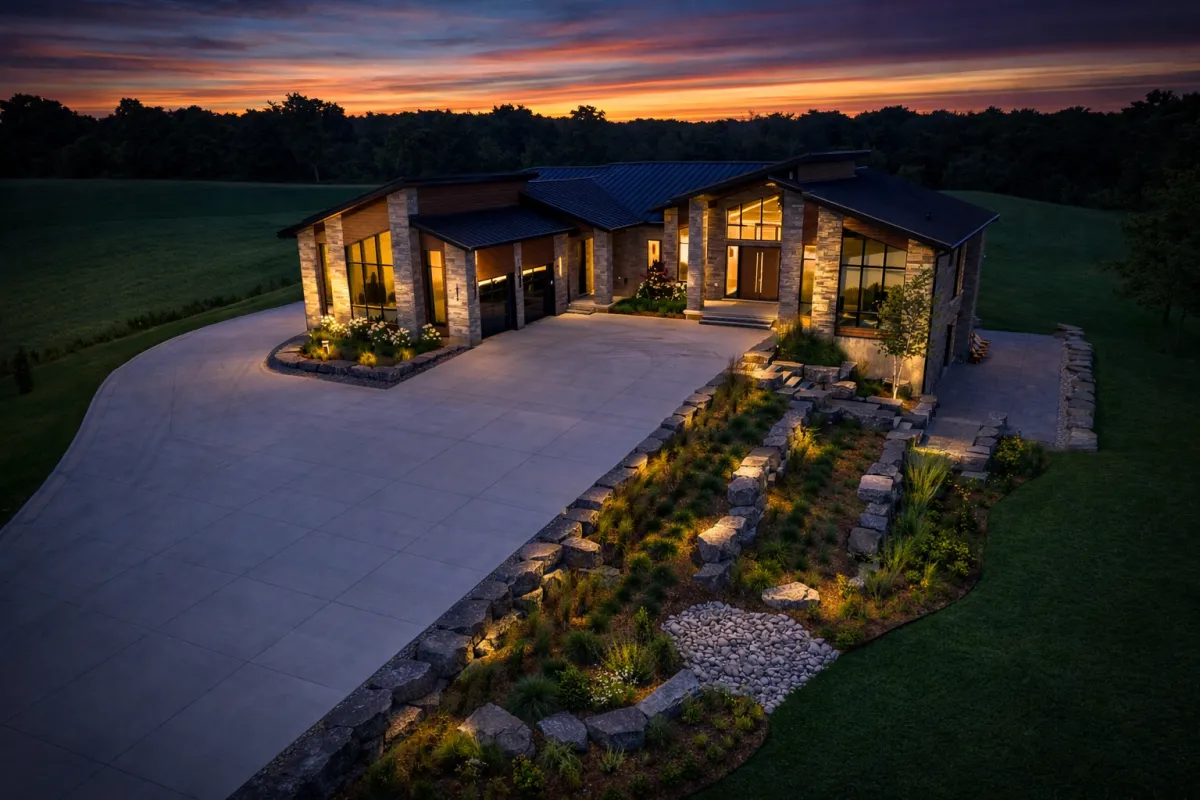
Property Marketing Media
Professional photo, video, and drone content designed to improve listings and marketing materials.
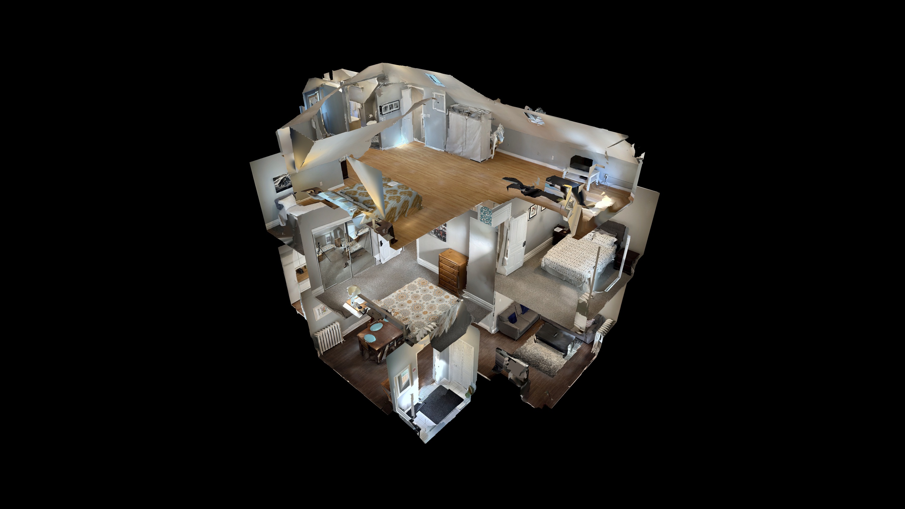
Matterport 3D Tours
Accurate 3D scans for inspections, documentation, and remote walkthroughs.
Professional Standards & Compliance
Fully insured, compliance-conscious visual operations built for active job sites and commercial environments.

Insured & Site-Ready
Liability-insured operations with experience working on active construction sites and industrial facilities. Safety and coordination are prioritized on every project.

Airspace & Regulatory Aware
Sub-249g compliant drone operations with support for controlled airspace approvals when required. Projects are executed with awareness of NAV CANADA guidelines and site restrictions.

Structured Deliverables
Clearly defined scope, timelines, and usage rights for every project — ensuring stakeholders receive predictable, usable assets without ambiguity.
Project Workflow
A structured four-step workflow from scope definition to final delivery.
01
Scope & Planning
Project requirements, site access, and deliverables are defined upfront to eliminate ambiguity and ensure alignment.
02
On-Site Execution
Drone, video, photography, or 3D scanning completed efficiently with coordination for active commercial environments.
03
Post-Production & Review
Assets are processed, organized, and shared for review within agreed timelines and revision parameters.
04
Final Delivery
Files delivered in ready-to-use formats for documentation, reporting, or marketing applications.
Request a Project Scope & Estimate
Share your site details, timeline, and objectives — we’ll provide a clear scope and cost estimate.
Typically responded to within 1 business day.
Prefer to Reach Out Directly?
Service Area:
London, ON & Southwestern Ontario
Hours:
Monday to Friday: By Appointment
On-site scheduling based on project needs
Copyright 2026 CD Visuals. All rights reserved
Serving London, ON & Southwestern Ontario.